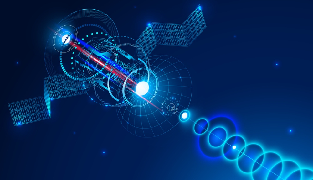
Hollywood has programmed society into believing satellite imaging as a magic, all-seeing tool, but the real trick is in analysis. Numerous firms are filling the skies overhead with eyes, small, cost-effective satellites taking pictures of the earth's in visible light, multiple wavelengths of light, and radar. Massive amounts of data are being generated on a daily basis, needing to be processed, filtered, and analyzed. Big Data, analytics, machine learning, AI,s APIs, and open source/open standards are all a part of the discussion.
Planet, formerly Planet Labs, is the poster child for the satellite imaging revolution. It owns and operations a fleet of over 200 satellites, ranging from over 140 bread box-size "Doves" to larger dorm fridge "SkySats. " In November 2017, the company announced it collects over 6 terabytes per day from its satellites.
Six terabytes. Per day.
Planet's daily take translates to a total of 1.4 million 29 megapixel images per day. Do the math across 30 days. Three months. A year. It's a ton of data being generated by a single company. Since starting in 2011, Planet says it has on average over 400 images per location on Earth -- and that was back in November 2017, so the numbers have gone upward.
An open source philosophy is hard-wired in Planet, making it a boon for developers and companies who want to dive into its catalog. One of Planet's early venture investors is O'Reilly AlphaTech Ventures -- yes, THAT Tim O'Reilly of O'Reilly Media and the open source movement and Web 2.0 fame.
Raw imagery can be accessed through the company's web portal, but the better bet is leveraging Planet's APIs to do the heavy lifting. Developers can visit Planet's Developer Center for quick and easy access to information on its APIs, tutorials, reference materials, and the like. Built on REST, JSON, and HTTP standards, companies can integrate Planet's six petabyte catalog-- and constantly growing at 6 TB/day -- into existing tools and workflows. An API incorporates analytics is currently in early access form.
Planet collects two types of imagery at the moment. The Dove fleet takes pictures with resolution of 3 to 5 meters per pixel while the SkySat fleet -- acquired from Google -- generates imagery at a resolution of 80 centimeters; as a bonus SkySats also can record video at 30 frames per second. Planet may have radar satellites on its future roadmap, according to some reports.
But Planet is only the tip of the imaging Big Data mountain growing day-by-day. Other companies, such as Seattle's BlackSky, are launching large constellations of small satellites to image the earth. Finland's ICEYE launched its first radar satellite early this year and plans a constellation of 18 satellites; it is already selling the initial imagery for monitor ice flows in the Arctic. Others are building near-infrared and hyperspectral satellite constellations, collecting information far beyond what the human eye can capture.
The big news this week is in geospatial analytics, with companies building tools to take in imaging from a number of sources and being able to count things on the ground and measure changes over time, be it oil held in storage tanks around the world, shipping containers moving in and out of ports, or the number of cars in a mall parking lot. CNN Money cites Orbital Insight, Descartes Labs, and SpaceKnow as a few of the companies collecting large amount of investment money in order to mine the imaging Big Data mountain. All three companies boast of access to their data and processing algorithms via web portal and APIs, with stories around different sources of data and better AI/machine learning algorithms to dig out insights.
Developers and businesses need to start contemplating what petabytes of imaging can do for them, by integrating into existing workflows and applications and developing new applications and services. For example, being able to "fuse" imaging information with IoT reporting would give individuals and businesses better awareness of assets and conditions on the ground. Wilderness enthusiasts (looking at you @AlanDpercy) could pull up overhead imagery to check the condition of trails and campsites before heading out. Fleet managers could examine delays in dispatch and shipping by mapping out traffic flows and recent construction.
Imaging presents a lot of potential as a new source of data to be tapped for businesses and developers. With the steady increase of imaging coming from new satellite constellations and new types of imaging becoming mainstream, it might be time to think about being an early adopter.
Edited by
Mandi Nowitz